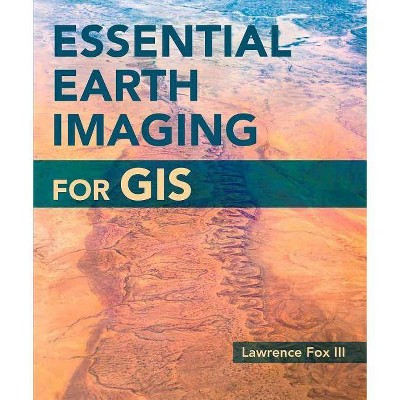
Essential Earth Imaging for GIS - by Lawrence Fox III (Paperback)
Similar Products
Products of same category from the store
AllProduct info
<p/><br></br><p><b> About the Book </b></p></br></br><p><em>Essential Earth Imaging for GIS </em>provides readers with the knowledge they need to use sophisticated earth imaging in a GIS.</p><p/><br></br><p><b> Book Synopsis </b></p></br></br><p>A guide to imaging technology and management, <em>Essential Earth Imaging for GIS</em> discusses characteristics of images obtained from aircraft and spacecraft, and how to enhance, register, and visually interpret multispectral imagery and point clouds. Geographic information system (GIS) professionals can use this book to learn about basic imaging technology. Students can use this book as a reference for introductory GIS courses that include multispectral image display and analysis. <br /><br /></p><p/><br></br><p><b> Review Quotes </b></p></br></br><br><p>The book <i>Essential Earth Imaging for GIS</i> written by Lawrence Fox III provides rich information and guidelines in GIS imagery technology not only for geospatial professionals but also for the college student, as a reference for introductory GIS courses that include multispectral imagery display and analysis. - <i>Connie Li Krampf, CP, CMS and MSCS, Chief Photogrammetrist, Timmons Group, Raleigh, North Carolina.</i></p>--Programmatic Engineering & Remote Sensing<br>
Price History
Price Archive shows prices from various stores, lets you see history and find the cheapest. There is no actual sale on the website. For all support, inquiry and suggestion messagescommunication@pricearchive.us

