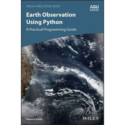
Earth Observation Using Python - (Special Publications) by Rebekah B Esmaili (Hardcover)
Similar Products
Products of same category from the store
AllProduct info
<p/><br></br><p><b> About the Book </b></p></br></br>"Python is a modern programming language that has exploded in popularity both inside and outside of the Earth science community. Part of its appeal is it's easy-to-learn syntax and the thousands of available libraries which can be synthesized with core Python to do nearly any computing task imaginable. In particular, Python is useful for reading Earth-observing satellite datasets, which can be notoriously difficult to use due to the volume of information that results from the multitude of sensors, platforms, and spatio-temporal spacing. Python facilitates reading a variety of self-describing binary datasets that these observations are often encoded in. Using the same software, one can complete the entirerty of a research project and even produce plots. Within a notebook environment, the scientist can document and distribute the code which can improve efficiency and transparency within the Earth sciences community. Even with the right tools data are seldom ready off-the-shelf for analysis and research and requires a number of pre-processing steps to make the data useable. What steps to take and why are often except perhaps for data developers themselves. Data users often misunderstand concepts such as data quality, how to perform an atmospheric correction, or the complex regridding schemes necessary to compare data with different resolutions. Even to a technical user, the nuances can be frustrating and difficult to overcome. The consequence of this is that data remains unused, or worse, potentially misused"--<p/><br></br><p><b> Book Synopsis </b></p></br></br><p><b>Learn basic Python programming to create functional and effective visualizations from earth observation satellite data sets</b></p> <p>Thousands of satellite datasets are freely available online, but scientists need the right tools to efficiently analyze data and share results. Python has easy-to-learn syntax and thousands of libraries to perform common Earth science programming tasks.</p> <p><i>Earth Observation Using Python: A Practical Programming Guide </i>presents an example-driven collection of basic methods, applications, and visualizations to process satellite data sets for Earth science research.</p> <ul> <li>Gain Python fluency using real data and case studies</li> <li>Read and write common scientific data formats, like netCDF, HDF, and GRIB2</li> <li>Create 3-dimensional maps of dust, fire, vegetation indices and more</li> <li>Learn to adjust satellite imagery resolution, apply quality control, and handle big files</li> <li>Develop useful workflows and learn to share code using version control</li> <li>Acquire skills using online interactive code available for all examples in the book</li> </ul> <p>The American Geophysical Union promotes discovery in Earth and space science for the benefit of humanity. Its publications disseminate scientific knowledge and provide resources for researchers, students, and professionals.<br /><br />Find out more about this book from this Q&A with the Author </p><p/><br></br><p><b> About the Author </b></p></br></br><b>Rebekah B. Esmaili</b>, Science and Technology Corp., Maryland, USA
Price History
Price Archive shows prices from various stores, lets you see history and find the cheapest. There is no actual sale on the website. For all support, inquiry and suggestion messagescommunication@pricearchive.us
