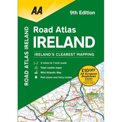
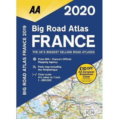
Big Road Atlas France 2020 - 19th Edition by Aa Publishing (Paperback)
Store: Target
Last Price: 19.99 USD
Similar Products
Products of same category from the store
AllProduct info
Fully revised and updated for 2020, this specialist A3 road atlas designed for the British motorist in France includes 21 city / town plans. There is also a channel hopping guide including channel tunnel terminal plans and ferry information. Coverage includes road mapping for Corsica and a central city and regional plan of Paris, plus the atlas legend is in English, French, Spanish, Italian, German, and Dutch. 4.5 miles to 1 inch 1:280,000 - 2.8km to 1cm.
Price History
Price Archive shows prices from various stores, lets you see history and find the cheapest. There is no actual sale on the website. For all support, inquiry and suggestion messages communication@pricearchive.us
