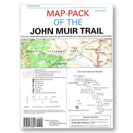
John Muir Trail Map-Pack

Store: Sports Basement
Last Price: 21.95 USD
Similar Products
Products of same category from the store
Product info
15 color, waterproof, shaded-relief topographic maps of the John Muir Trail and Pacific Crest Trail from Mount Whitney to Yosemite Valley. Tom Harrison maps have color-coded symbols and trails, mileages between trail junctions, latitude/longitude, UTM grids, contour lines, vegetation, and elevations at trail junctions. Published in 2019 Scale 1:63,360 80 ft contours
Price History
Cheapest price in the interval: 21.95 on March 29, 2022
Most expensive price in the interval: 21.95 on April 27, 2022
Price Archive shows prices from various stores, lets you see history and find the cheapest. There is no actual sale on the website. For all support, inquiry and suggestion messagescommunication@pricearchive.us
