Savannah and Its Surroundings - by G A Gregory (Paperback)
Similar Products
Products of same category from the store
AllProduct info
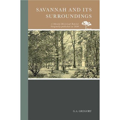
<p/><br></br><p><b> Book Synopsis </b></p></br></br>In 1890 Savannah has a population of 60,000. The city covers 4,000 acres, and has a valuation of nearly $40,000,000 and a commerce of $110,000,000. It has 106 miles of streets, sixty-five acres of public parks, fifteen miles of street railway and five miles of wharves. Geographically, it is at the head of ship navigation on the Savannah River, eighteen miles from the ocean, on a plateau fifty feet above the level of the sea. It is in 32° and some minutes north latitude, with the gulf stream just issuing from the tropics at no great distance to the eastward. It is near the isothermal line of 70° temperature, which marks the northern limit of the tropics. The city is nearly square, and most of the streets are broad and run at right angles with each other. The plan of the city proper was designed by Oglethorpe, and once commenced it was adhered to for its regularity, beauty, and comfort. All of the streets in the city are named, and the lanes take the name of the street north of them. The plan of the outskirts differs materially from that of the city proper. Bay street is the great commercial thoroughfare, and is lined with mercantile houses, banks, and business offices. The Custom-House, the City Exchange, Post-Office, and the Cotton Exchange are on "The Bay." Congress and Broughton are the principal retail business streets. Bull street is the great promenade, and extends from the City Exchange, overlooking the river, to the park, and beyond to the southern limits and the White Bluff shell road.
Price History
Price Archive shows prices from various stores, lets you see history and find the cheapest. There is no actual sale on the website. For all support, inquiry and suggestion messagescommunication@pricearchive.us
