Dutchess County Maps - by Topographics LLC & Jimapco Inc (Paperback)
Similar Products
Products of same category from the store
AllProduct info
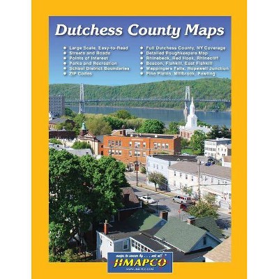
<p/><br></br><p><b> Book Synopsis </b></p></br></br>Full Dutchess County, NY Map Coverage with Large Scale, Easy-to-Read, Recently Updated (2018) Maps showing Streets and Roads, Points of Interest, Parks and Recreation Features, School District Boundaries, and ZIP Codes. This 8.5" x 11" bound book highlights all of Dutchess County, NY with 120 maps printed in black ink on white paper, including the following communities: Amenia, Annandale- on-Hudson, Arlington, Bangall, Barrytown, Beacon, Beekman, Billings, Castle Point, Chelsea, Clinton Corners, Dover Plains, East Fishkill, Fishkill, Glenham, Holmes, Hopewell Junction, Hughsonville, Hyde Park, Lagrangeville, Millbrook, Millerton, Northeast, Patterson, Pawling, Pine Plains, Pleasant Valley, Poughkeepsie, Poughquag, Red Hook, Rhinebeck, Rhinecliff, Salt Point, Staatsburg, Stanfordville, Stormville, Tivoli, Verbank, Wappingers Falls, Wassaic, Wingdale A comprehensive index is included in the back of the book.
Price History
Price Archive shows prices from various stores, lets you see history and find the cheapest. There is no actual sale on the website. For all support, inquiry and suggestion messages communication@pricearchive.us
