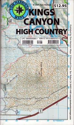
Kings Canyon High Country

Similar Products


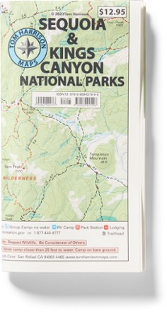

Products of same category from the store


Product info
Explore miles of trails through the deep valleys and huge sequoia trees of Kings Canyon National Park with the Tom Harrison Cartography Kings Canyon High Country trail map. Covers the areas of Cedar Grove; LeConte Canyon; Sixty Lakes and Blackcap basins; Paradise, Crown and Tehipite valleys; and Kearsage, Glen, Pinchot, Mather and Muir passes Full-color shaded-relief topographic map on high-quality tear- and water-resistant paper; folds up easily and is easy to read in all conditions Tom Harrison maps include color-coded symbols and trails, mileage between trail junctions, UTM grids, contour lines, vegetation and elevations at trail junctions Folded Dimensions: 7.4 x 4.3 x 0.2 inches Unfolded Dimensions: 37 x 26 inches Map Scale: 1:63,360 Double Sided Waterproof
Price History
Cheapest price in the interval: 10.95 on March 29, 2022
Most expensive price in the interval: 10.95 on April 27, 2022
Price Archive shows prices from various stores, lets you see history and find the cheapest. There is no actual sale on the website. For all support, inquiry and suggestion messagescommunication@pricearchive.us