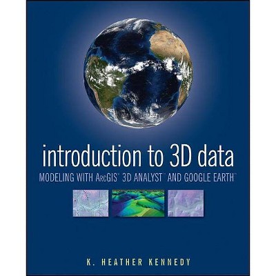
Introduction to 3D Data - by Heather Kennedy (Paperback)
Similar Products
Products of same category from the store
AllProduct info
<p/><br></br><p><b> Book Synopsis </b></p></br></br><b>Render three-dimensional data and maps with ease.</b> <p>Written as a self-study workbook, <i>Introduction to 3D Data</i> demystifies the sometimes confusing controls and procedures required for 3D modeling using software packages such as ArcGIS 3D Analyst and Google Earth. </p> <p>Going beyond the manual that comes with the software, this profusely illustrated guide explains how to use ESRI's ArcGIS 3D Analyst to model and analyze three-dimensional geographical surfaces, create 3D data, and produce displays ranging from topographically realistic maps to 3D scenes and spherical earth-like views. The engagingly user-friendly instruction: </p> <p>- Walks you through basic concepts of 3D data, progressing to more advanced techniques such as calculating surface area and volume</p> <p>- Introduces you to two major software packages: ArcGIS 3D Analyst (including ArcScene and ArcGlobe) and Google Earth</p> <p>- Reinforces your understanding through in-depth discussions with over thirty hands-on exercises and tutorial datasets on the support website at www.wiley/college/kennedy</p> <p>- Helps you apply the theory with real-world applications</p> <p>Whether you're a student or professional in geology, landscape architecture, transportation system planning, hydrology, or a related field, <i>Introduction to 3D Data</i> will quickly turn you into a power user of 3D GIS. </p><p/><br></br><p><b> From the Back Cover </b></p></br></br><b>render three-dimensional data and maps with ease</b> <p>Written as a self-study workbook, <i>Introduction to 3D Data</i> demystifies the sometimes confusing controls and procedures required for 3D modeling using software packages such as ArcGIS 3D Analyst and Google Earth.</p> <p>Going beyond the manual that comes with the software, this profusely illustrated guide explains how to use ESRI's ArcGIS 3D Analyst to model and analyze three-dimensional geographical surfaces, create 3D data, and produce displays ranging from topographically realistic maps to 3D scenes and spherical earth-like views. The engagingly user-friendly instruction: </p> <ul> <li>Walks you through basic concepts of 3D data, progressing to more advanced techniques such as calculating surface area and volume</li> <li>Introduces you to two major software packages: ArcGIS 3D Analyst (including ArcScene and ArcGlobe) and Google Earth</li> <li>Reinforces your understanding through in-depth discussions with over thirty hands-on exercises and tutorial datasets provided at www.wiley.com/college/kennedy</li> <li>Helps you apply the theory with real-world applications</li> </ul> <p>Whether you're a student or professional in geology, landscape architecture, transportation system planning, hydrology, or a related field, <i>Introduction to 3D Data</i> will quickly turn you into a power user of 3D GIS.</p><p/><br></br><p><b> Review Quotes </b></p></br></br><br><p>"With Introduction to 3D Data: Modeling with ArcGIS 3D Analyst and Google Earth the reader will master the craft of 3D visualization, especially if the book is complemented by a theoretical GIS compendium." (<i>Photogrammetric Engineering and Remote Sensing, </i> 1 May 2012)</p> <p> </p><br><p/><br></br><p><b> About the Author </b></p></br></br><b>K. Heather Kennedy</b> is a GIS Planner in the Community Development Department of Contra Costa County, California. A freelance technical writer, she has written <i>The ESRI Press Dictionary of GIS Terminology and Data in Three Dimensions</i>.
Price History
Price Archive shows prices from various stores, lets you see history and find the cheapest. There is no actual sale on the website. For all support, inquiry and suggestion messages communication@pricearchive.us
