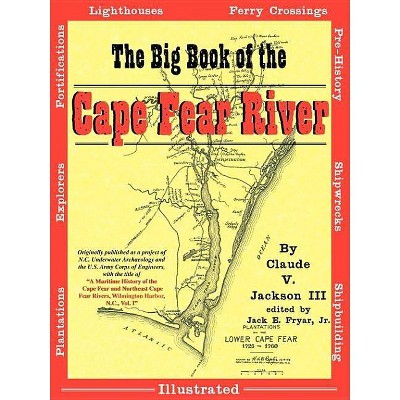
The Big Book of the Cape Fear River - by Claude V III Jackson (Paperback)
Similar Products
Products of same category from the store
AllProduct info
<p/><br></br><p><b> About the Book </b></p></br></br>In 1993-1994, the North Carolina Department of Cultural Resources' Underwater Archaeology Unit teamed with the U.S. Army Corps of Engineers to conduct a comprehensive survey of Cape Fear River. The volume has been enhanced with more than 250 photos, illustrations, and maps.<p/><br></br><p><b> Book Synopsis </b></p></br></br>In 1993 and 1994, the N.C. Department of Cultural Resources' Underwater Archaeology Unit teamed with the U.S. Army Corps of Engineers to conduct a comprehensive survey of North Carolina's Cape Fear River, from the mouth at Bald Head Island to just above Wilmington. The survey sought out plantation sites, fortification sites, shipwrecks, ferry crossings, lighthouses, shipyards and much more along more than thirty miles of the state's most historic river. Published in 1996, the resulting study is a gold mine of information about the places along the lower Cape Fear River where history was made. Now available to the general public for the first time, this volume has been enhanced with more than 250 photos and illustrations, plus more than sixty maps identifying the places talked about in the study. This book is a must-have for the North Carolina and Cape Fear history lover!
Price History
Price Archive shows prices from various stores, lets you see history and find the cheapest. There is no actual sale on the website. For all support, inquiry and suggestion messages communication@pricearchive.us
